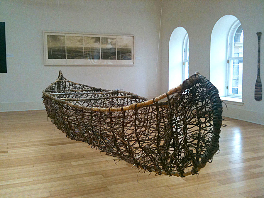
Land Water and Language
Sabhal Mor Ostaig, Sleat, Isle of Skye – 27th November 2010 – 5th March 2011
Dovecot, Edinburgh – 5th August – 5th September 2011
Funded By Taigh Chearsabhagh and Creative Scotland, curated by Andy Mackinnon
The Uists and Benbecula are part of a flow country whose interweaving of sea, lochs and land takes on a wave pattern, as when the tide retreats from a beach. The chain of islands and sea are dominated by Eaval (Island Mountain) in the North and Hekla in the South, both Norse names transfixing a fluid landscape with history and language. For the experience of this land is multi layered: from the actuality of the place; the wind, the rain, the light, the sound of the curlew, the roar of the surf, the brown squelch of the peat bogs and the scent of the burning peat from the cottage chimneys, intermingles with the history interred in the place names on the map, given both in Gaelic and Norse: Encounter Loch, Secure Sheep Island, Hillock of Many Priests, Loch of the Old Woman and something of the pain from the clearances: Isle of Lament, Coffin Loch.
So language and meaning and history are embedded in this now sparsely populated place. And using satellite imagery we can look at this pattern of land and water observe the ever changing patterns of weather fronts which mirror the land beneath. At the same time we can look at the microcosm in the small bacteria embedded in the peat bogs and know through the science that these microorganisms are affecting the climate and the weather in which the whole is embedded.

